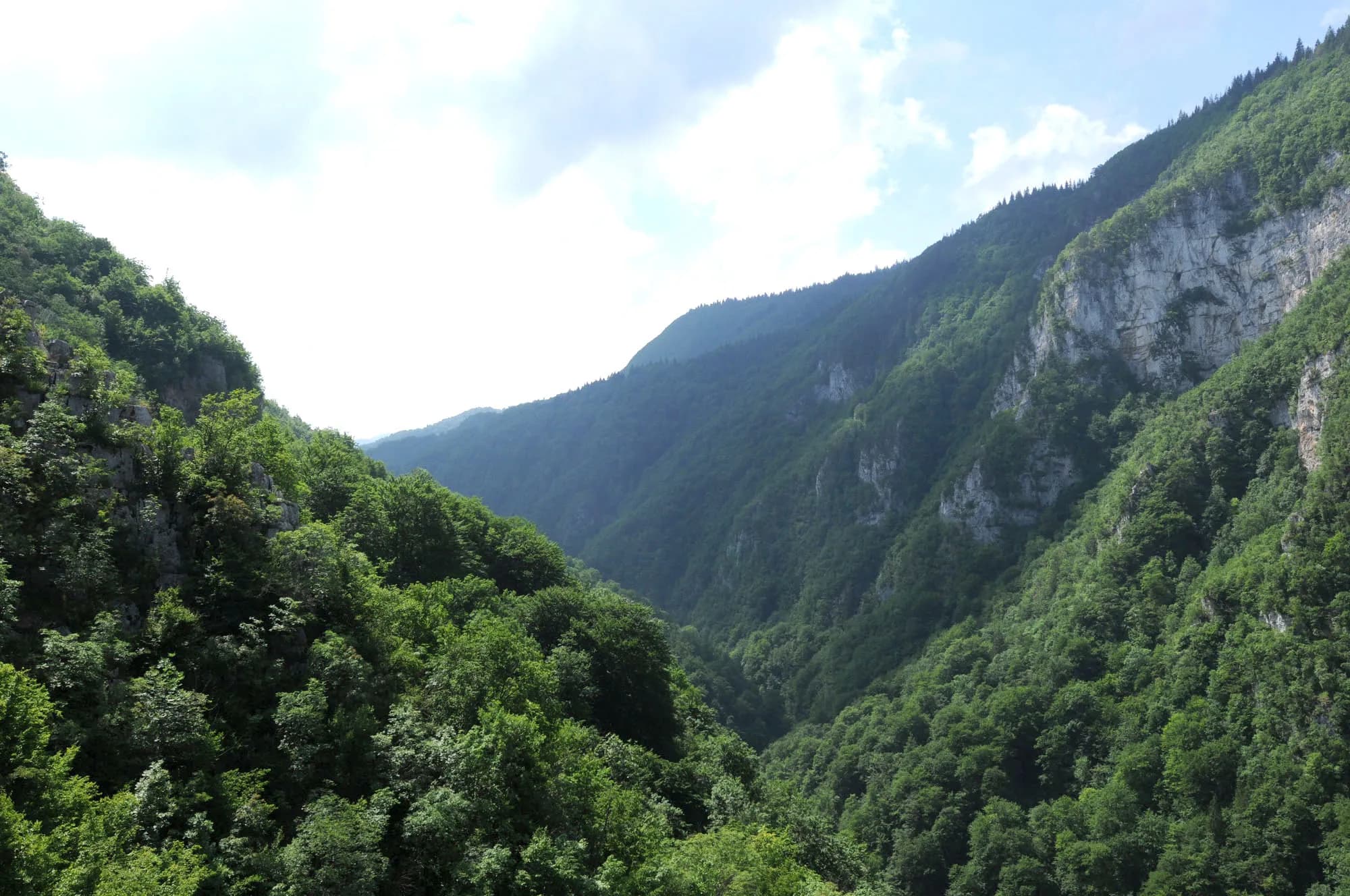
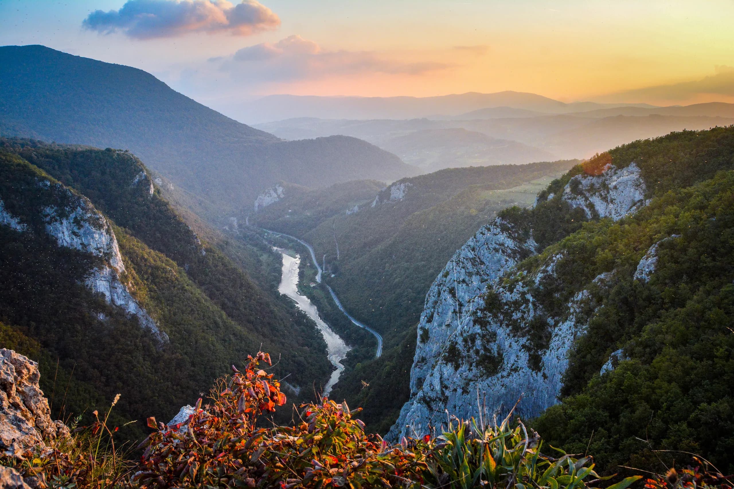
Ugar Canyon (Kanjon Ugra)
10 kmapprox. 21 min
Narrow river canyon with viewpoints along the road.
Surroundings
All distances are measured from the house.
10 kmapprox. 21 min
Narrow river canyon with viewpoints along the road.
approx. 5 min
Approx. 5 minutes by car (according to the hosts' description).
The nearest sight, a few minutes away by car.
8 kmapprox. 20 min
Trout restaurant by the river, the nearest one to the accommodation.
Good to know: Opening hours not published — please check by phone. As of 2026, please check on site.
10 kmapprox. 21 min
Restaurant with a viewpoint over the canyon.
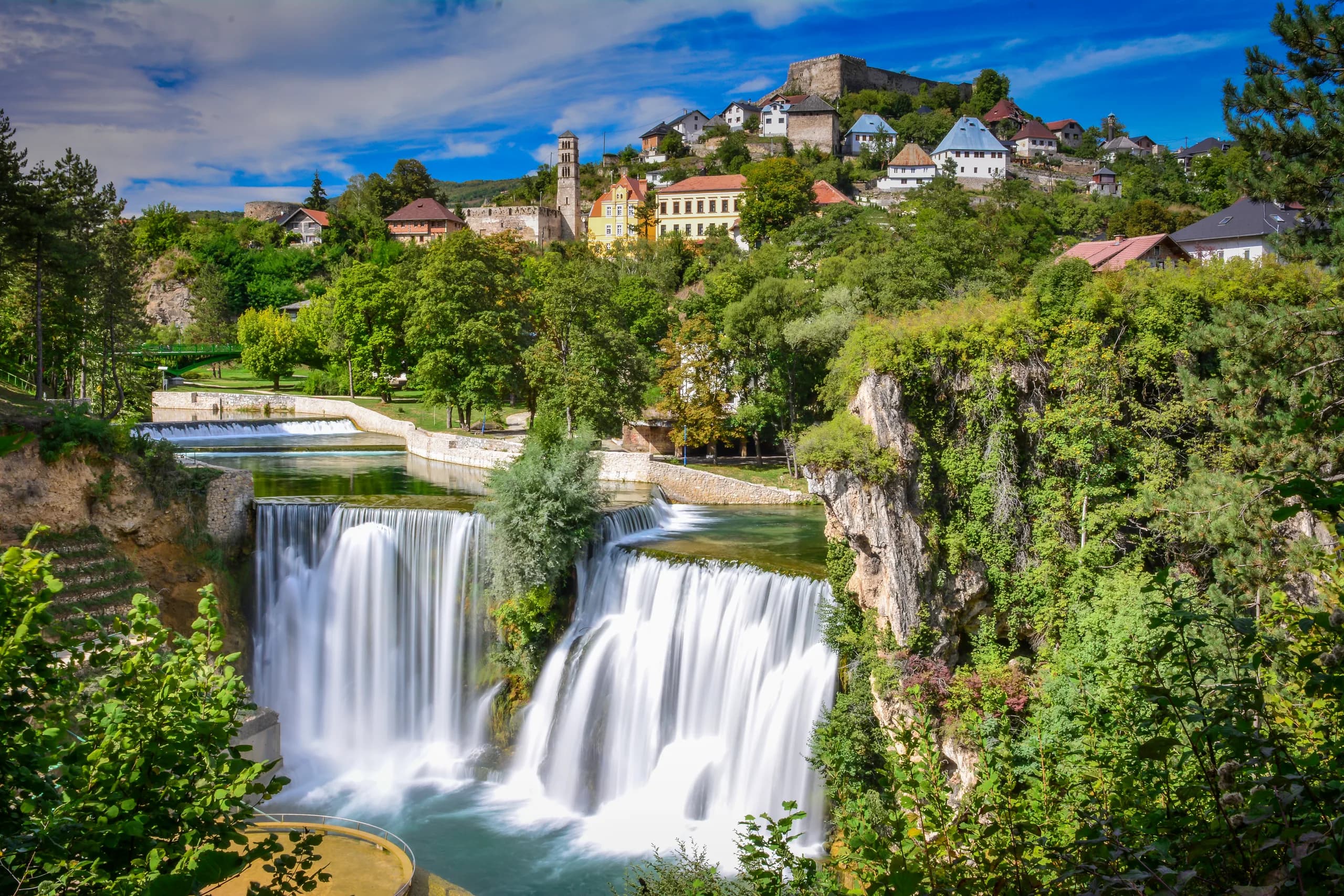
23 kmapprox. 38 min
Around twenty metres high, right in the middle of town, with a viewing platform.
Good to know: Platform 5 or 10 KM; 1 May–30 Sep 08:00–19:00, 1 Oct–30 Nov 10:00–17:00, closed in winter. As of 2026, please check on site.
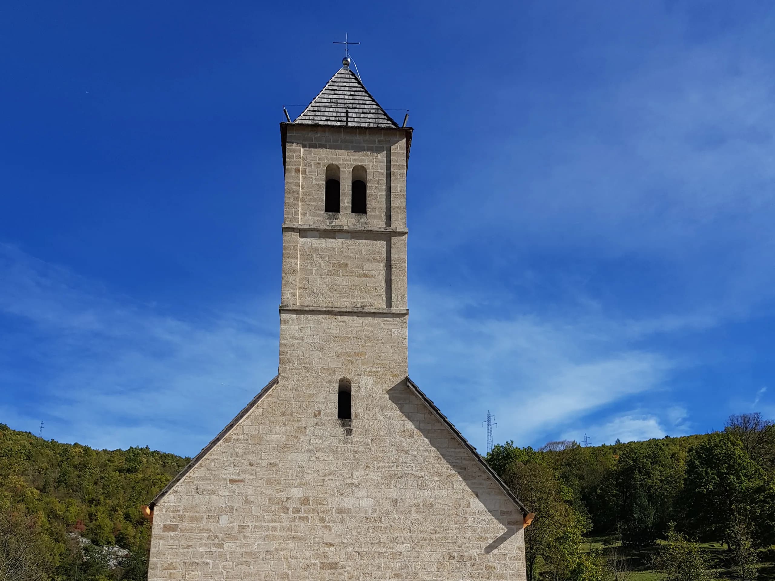
22 kmapprox. 38 min
Place of pilgrimage near Jajce; the feast of St John the Baptist falls on 24 June.
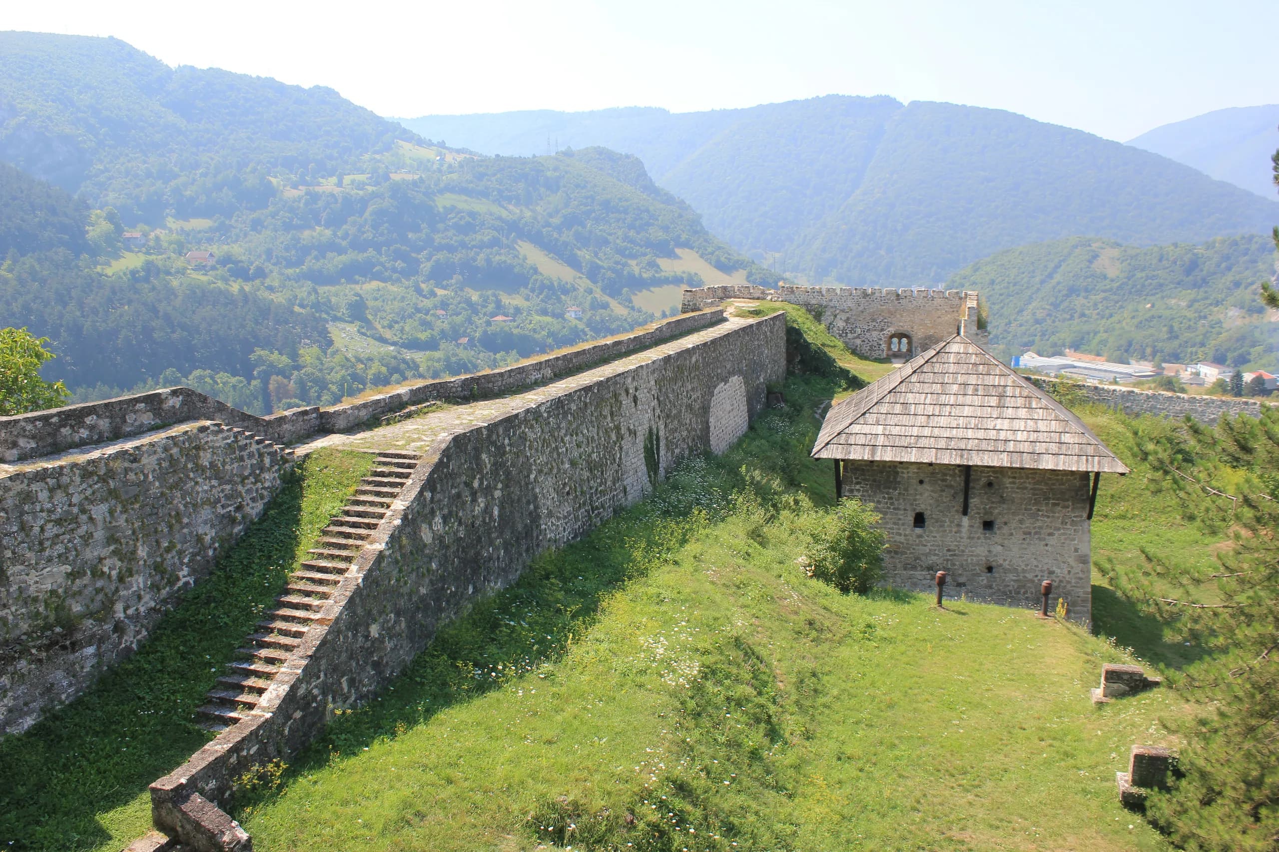
23 kmapprox. 38 min
The castle above the old town, established in the 13th century.
Good to know: 2 or 5 KM; 1 May–30 Sep 08:00–19:00, 1 Oct–30 Nov 10:00–17:00, 1 Dec–28 Feb 09:00–15:00. As of 2026, please check on site.
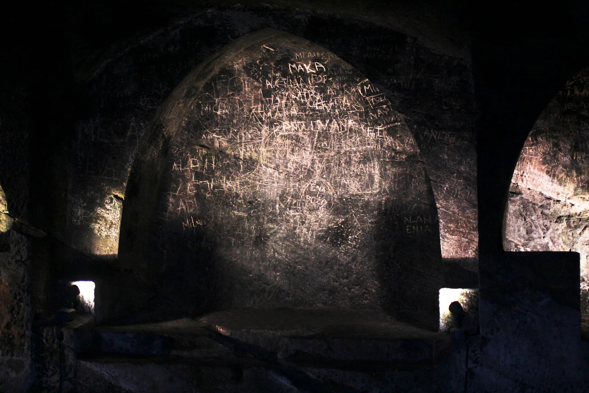
23 kmapprox. 38 min
Burial church carved into the rock, dating from 1410.
Good to know: 2 or 5 KM; same seasonal opening hours as the fortress. As of 2026, please check on site.
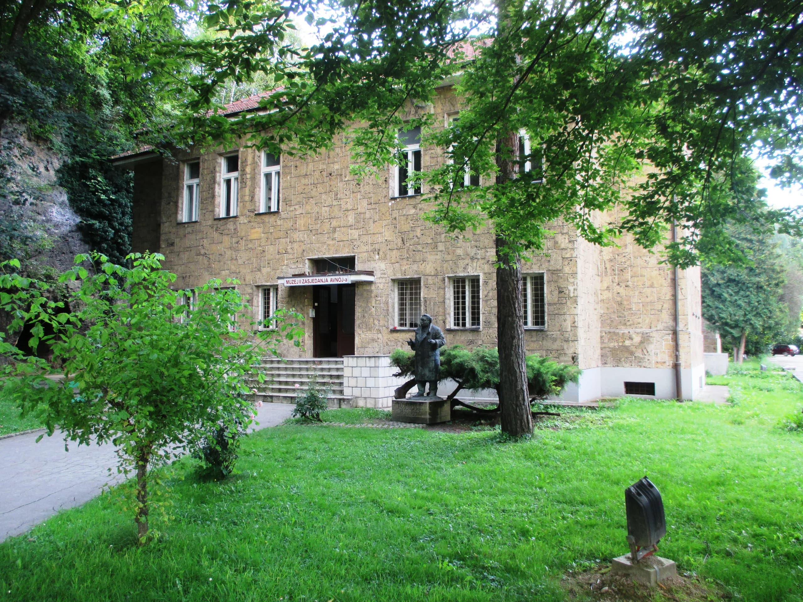
23 kmapprox. 38 min
The hall in which the second Yugoslavia was proclaimed on 29 November 1943.
Good to know: 8 KM; same seasonal opening hours as the fortress. As of 2026, please check on site.
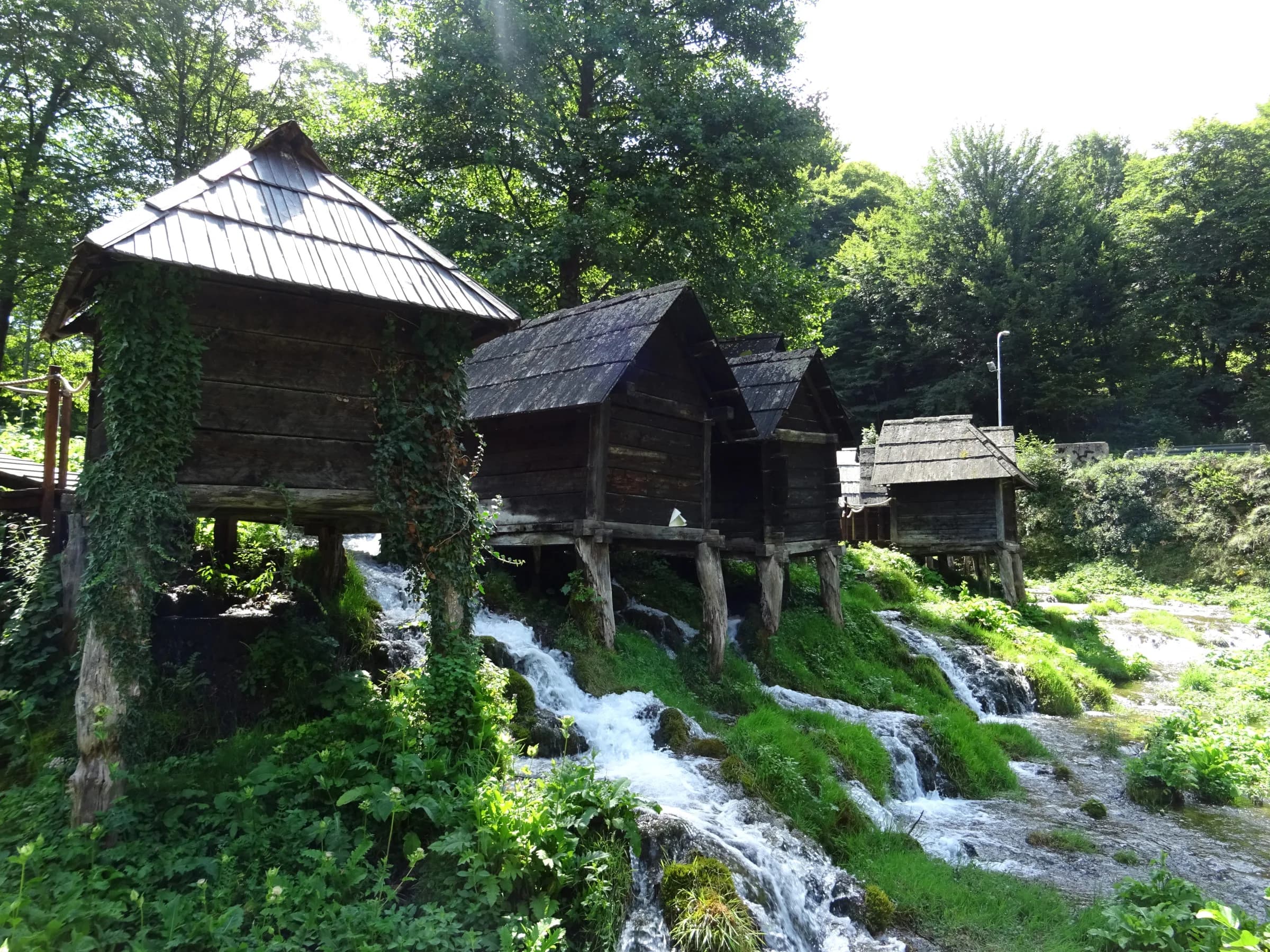
27 kmapprox. 48 min
Two lakes and the group of small wooden watermills between them.
68 kmapprox. 90 min
Operators in Banja Luka; starting point at the Bočac Dam.
White water on the stretch below the Bočac Dam.
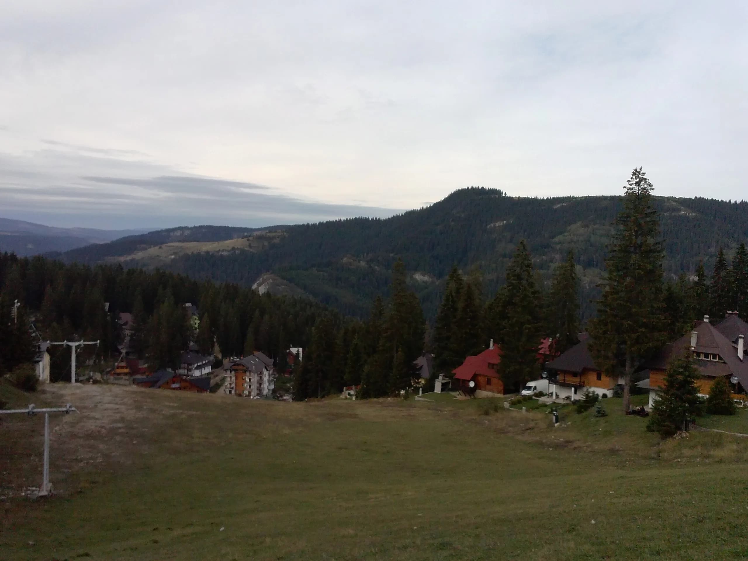
Approx. 86 km from Jajce via Travnik, 1.5–2 hours.
Slopes between 1,220 and 1,520 m on the Vlašić plateau.
Good to know: Day pass 32 BAM. As of 2026, please check on site.
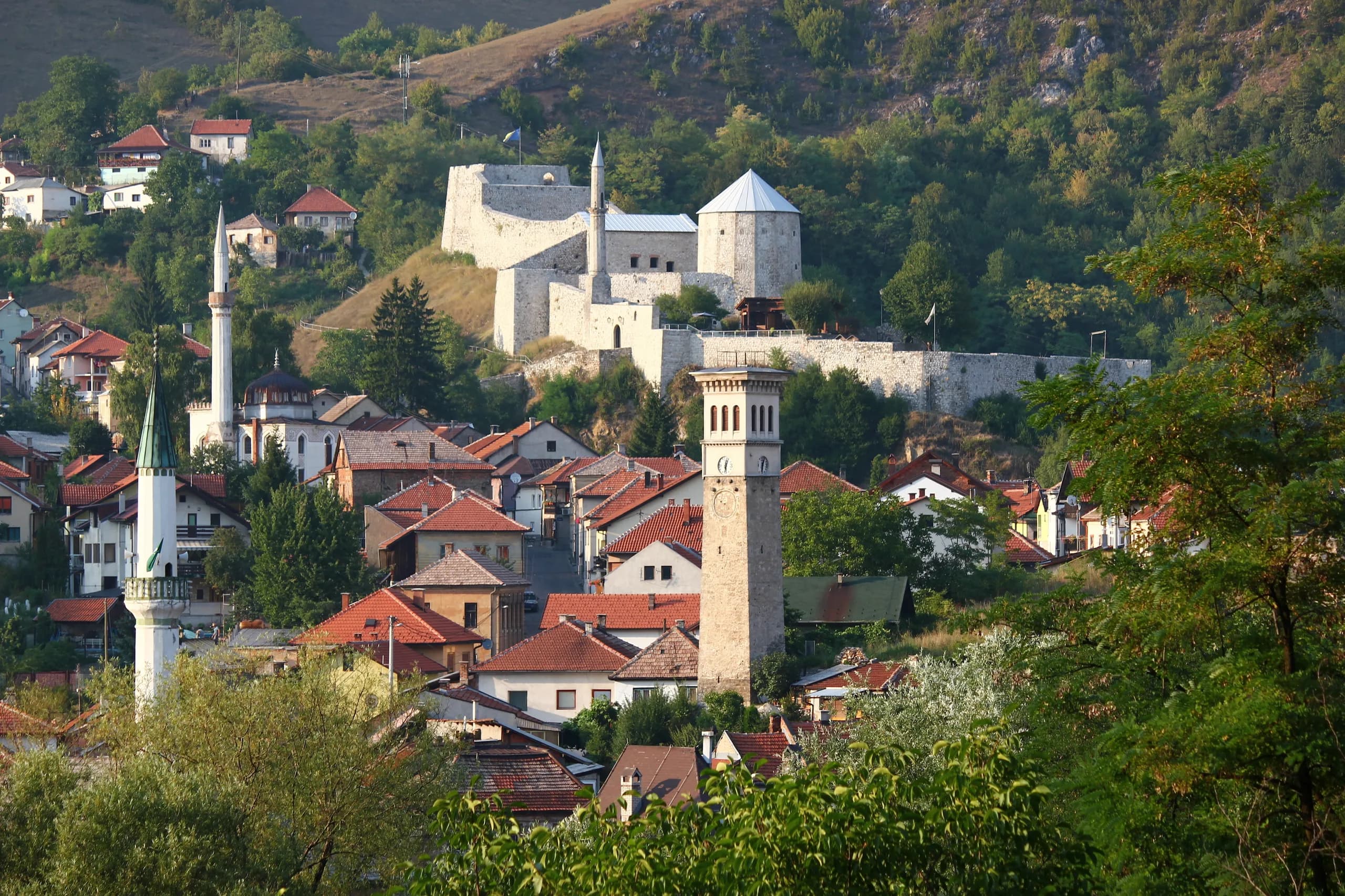
41 kmapprox. 58 min
Town of the viziers, with a castle and the Plava voda park.
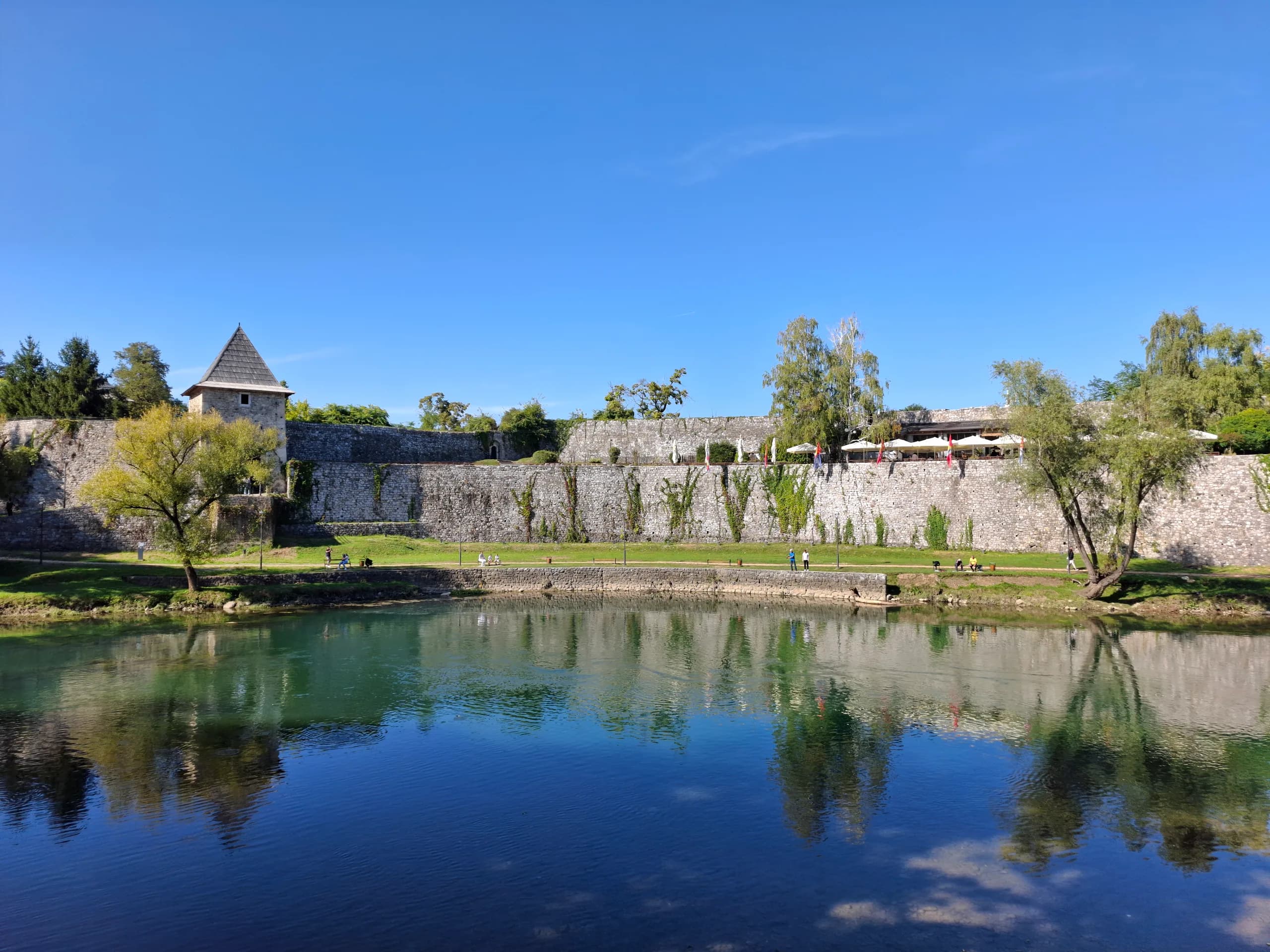
68 kmapprox. 90 min
Nearest airport 94 km / approx. 2 hours.
The largest city in the region, with a fortress, a mosque and the nearest airport.
10 kmapprox. 24 min
The highest municipal seat in Bosnia and Herzegovina, at around 1,200 m.
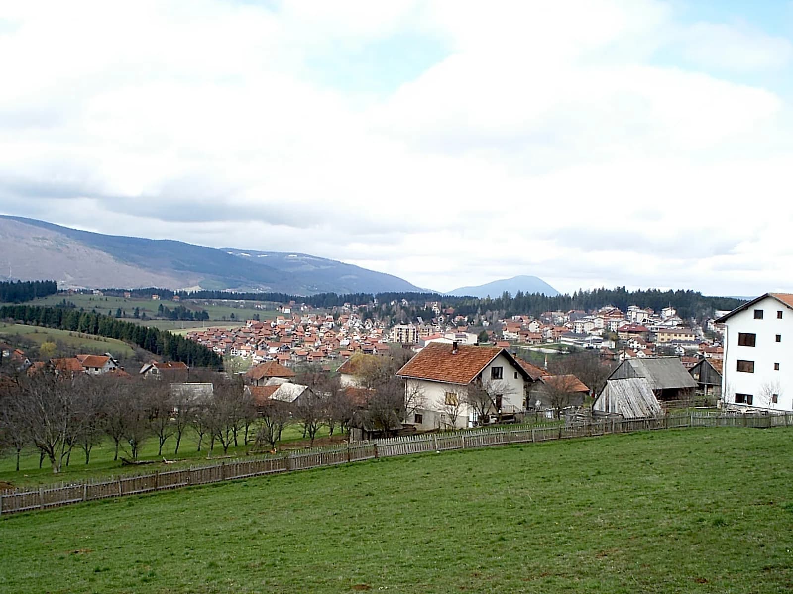
18.5 kmapprox. 31 min
Nearest shops; located in Republika Srpska.
The nearest shops, with a pharmacy, a bank and a petrol station.


